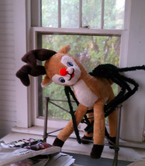
We brought in two retro reindeer to our space in the antique shop — and they both sold in less than a day! The good news is that I had snapped some pics. And the pretty white one with the large eyes is even available on a card at Zazzle! (Use code ZAZCYBER2014 to save up to 65% Off Amazing Products — sale ends tonight at Midnight!) Keep an eye on our antique shop blog to find what other cool vintage and retro Christmas items we have available this holiday.
Tag: deer
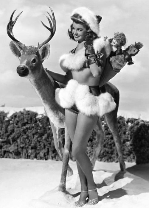
Esther Williams Wishes You A Deer Holiday
Seems Like The Holidays Are Right On Top Of Each Other
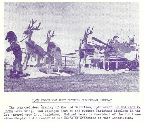
Tank Reindeer Outdoor Christmas Display, 1963
As published in First Armored Division Association Bulletin, “Old Ironsides,”, No. 3, Vol. XV, Winter 1963 – 64; caption and info:
13th Horse Has Best Outside Christmas Display
The tank-reindeer display of the 2nd Battalion, 13th Armor, Lt Col John F. Hooks Commanding, was adjudged best of outdoor Christmas displays in the 1st Armored area last Christmas. Colonel Hooks is President of the Old Ironsides Chapter and a member of the Board of Directors of this Association.
Here Ye Be Deer (And Other Things To Shoot At)
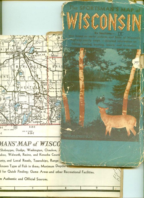
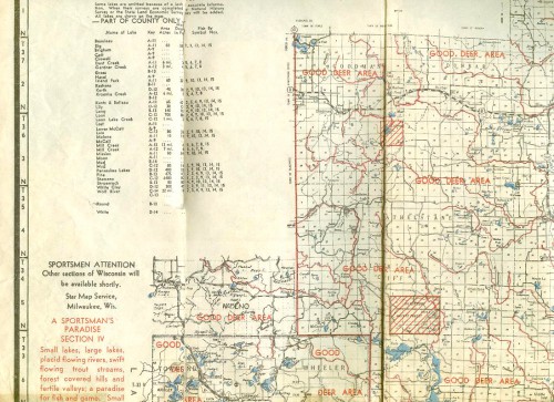
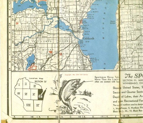
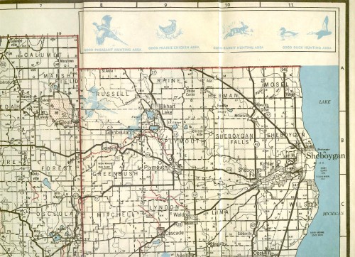
The Sportsman’s Map Of Wisconsin shows you where the deer are. Well, the maps shows you where the deer — Pheasant, Prairie Chickens, rabbits, ducks and fish — were, as these are vintage maps from the 1940s.
From my auction listing:
This auction is for two vintage maps for sportsmen looking to find the best hunting spots in Wisconsin.
According to the one with the original cover, these maps were “based on aerial pictures and State of Wisconsin highway county maps.” Offering “detailed information on fishing, hunting boating, resorts, and recreation.” Elsewhere on one of the maps, as statement that the Sportsman’s Map was also based on aerial photos and info from the Wis. Forest Service, U.S.G.S. Quadrangles, as well as “authoritative sources” compiled by The Star Map Service. The maps shows you where the deer, pheasant, Prairie Chickens, rabbits, ducks, fish were.
Neither map is pristine. One has both front and back cover pieces, but the front piece is no longer attached. It seems in good shape, a few tears. The second has no front cover, the map is torn along folds, yellowing tape is present and even it fails to hold pieces together. What I’m trying to say is that there are enormous signs of wear — but these were used in the field, ya know what I mean? Just be glad there’s nothing icky left on them like fingerprints from grubby bait-holding hands, or guts or anything *wink* — and be glad these vintage maps survived at all.
The map in worse shape, is for “Section IV,” Marinette, Oconto, Door, Kewaunee, Brown, Calumet, Manitowoc, Winnebago, Outagamie, and parts of Shawano and Waupaca Counties. This appears to be the first of this series of maps as it bears the following statement: Sportsmen Attention Other sections of Wisconsin will be available shortly. Star Map Service, Milwaukee, Wis. It is dated 1946.
The other map, in nice shape, is for “Section IX,” Fon du Lac, Sheboygan, Dodge, Washington, Ozaukee, Jefferson, Waukesha, Milwaukee, Walworth, Racine, and Kenosha Counties. I did not spot any date on this one, but I didn’t want to fiddle too much with them… Best guess as to age lies in the fact that one the side of the map with traditional road map, there is a note that the population figures came from the 1940 Census — this is also on the IV map.
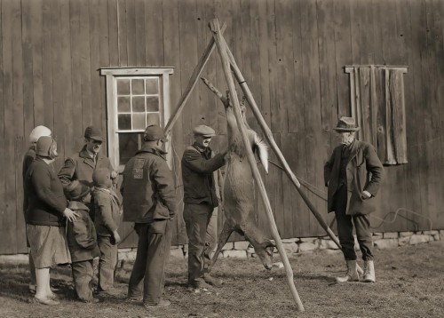
Hey, Kids, Wanna See The Insides Of Bambi’s Mom?
Via Lynnstudios.
